Using satellite data to understand climate change

Learning to use satellite data can help understand climate change!
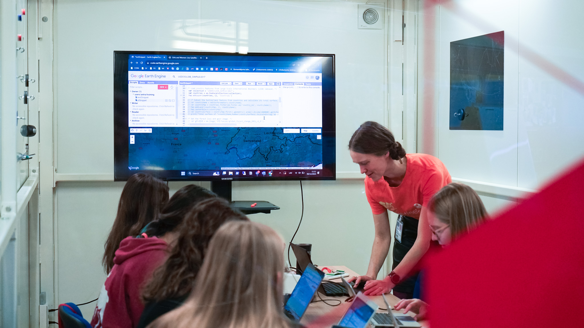
More than 30 girls and women aged 14+ participated in a training at IdeaSquare to look at our own environments to see the effects of climate change, in order to inform better policy decisions.
The event, organised by RightsTech Women, CERN's Women in Technology, and CERN's Micro Club, took part in the framework of EU Code Week. Technical coaches introduced participants to how they can apply pictures of Earth taken from space to understand climate change in their local area and around the world. They have been able to work with such data to investigate their own questions, and to visualise and understand climate trends such as deforestation, temperature change, and extreme events.
In the hands-on learning, participants browsed a dataset permitting an exploration of the topic of vegetation health. Working with a script, participants could explore forest loss and/or gain around the world by country, including locally. This was particularly exciting because, for many participants, it was the first time they had tried any programming. The participants had women coaches as role models, as a goal of the event is to promote women and girls in STEM.


